One of the fundamental elements to consider when we’re referring to fly is the weather. Inclement weather are a decisive influence not only on the quality and safety of the flight and passengers, even so for the optimal use of resources and the waiting time.
If you devote yourself to the world of aviation, you know how important it is to have the most current and reliable information about the weather before and during the flight, so choosing the best information tools to plan, describe and, if it’s necessary, change the flight plans are directly related with the quality of the flight.
One of the best navigation tools for aeronautics of the moment is the App eWAS – Aviation weather and turbulence forecast for EFBs, a mobile application developed by GTD and SITA OnAir that allows you to know a high detailed information about weather awareness before, during and after the flight.
ALT: eWAS – Aviation weather forecast
¿But what eWAS exactly offers that makes it so recommended among pilots and other flight professionals?
What eWAS can do and it´s highly adaptable
eWAS is the perfect application to organize your flight as safely as it synthesize, in a very intuitive interface, the most accurately in real time weather information, in addition to being able to provide any kind of weather awareness with a forecast of up to 60 minutes.
Weather forecasts can be obsolete in a very short-term, because conditions are always changing and, sometimes, in a no predictable way. But eWAS is constantly actualizing, sending forecasts and in real time data and establishing a wide view of the meteorological situation.
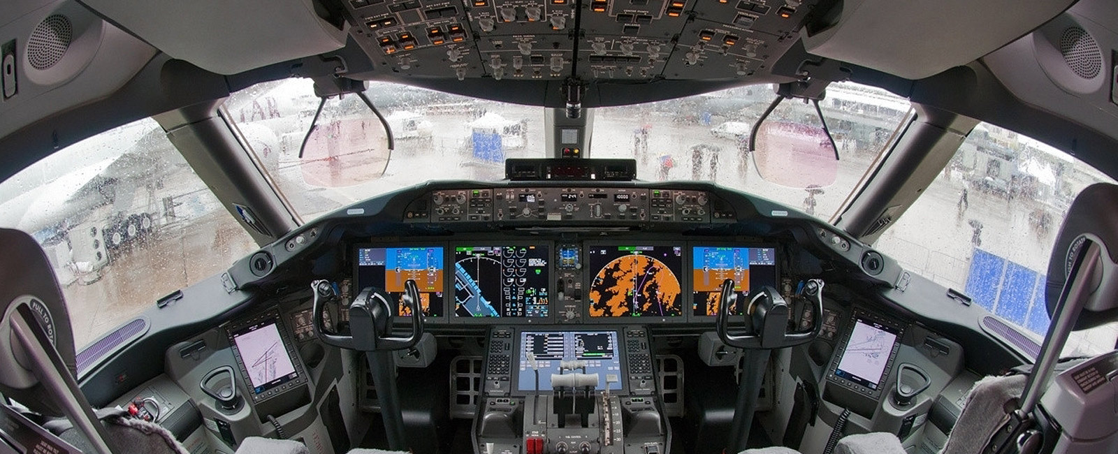
The information can be used both to prepare and plan the flight before launching the flight and also, downloading the App in iOS devices (iPhone and iPad), in the cockpit where it’s constantly updated all during the flight. The data can be also used after landing to evaluate and analyse the flight and its development.
Alt: eWAS – EFBs for cockpit
This knowledge throughout the trip helps to optimize the time, safety and, above all, the welfare of passengers due to the capability of making decisions to improve the route taking in account the different weather threats of each moment.
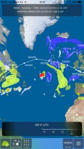
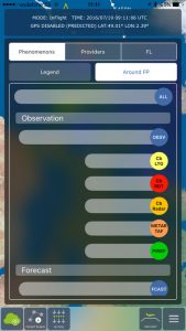
The App interface Map present the date in a 4D vision that makes the information easily understandable and in the same time the option of choosing a horizontal or vertical view of the flight path. It also allows us to choose what kind of data we want to see on the screen, something that allow us to make the necessary route modifications with real-time information and clear data.
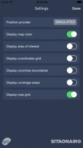
eWAS customization options are so wide that everybody can do that easily suits your needs. Each pilot, flight company and professional can adapt the interface, the kind of data that are collected and managed by the app or the view of different screens between others. It also offers the possibility to flight companies to customize the service in accordance with their corporative image and specific needs.
The app offers a detailed route of your flight and various atmospheric influences which may occur during the same plane: from turbulence or ice storms to or volcanic ashes. In addition, the end of the flight generates a subsequent report everything that happened during the flight.
Technologies and communication systems used
In order to offer the best service, EWAS manage weather information provided by companies such as Meteo France, WSI, NOAA, Met Office or Schneider Electric. This data can be sent both satellite (3G, 4G or WiFi technology) as scrambled channels as ACARS or Satcom.
Compatible with different iOS devices (iPhone and iPad) and in-cockpit EFB and other navigation tools, you can choose the technology that best fits according to the components you use. eWAS also offers 24 hour support, making it easier for any problem that you can find it easily solvable.
App screenshots
For more detailed information you can visit their website or read more about it on the latest news of aviation technology.
Technical details
MAIN FEATURES of eWAS – Weather and turbulence forecast for EFBs
- Graphical interface designed for commercial pilots and business jet transport
- Horizontal and vertical view of the weather threats
- 4D view of weather objects
- ND View up to 640NM
- Connection to your OCC
- Integrated to A429 avionics bus to receive aircraft states
- Detection of weather threats along the flight path
- Timeline to see current and future weather situations for better anticipation of weather evolution
- Virtual Radar with probabilistic view
- 24/7 support
- Airline customization
- Compatible with iOS and Windows based EFBs
AVAILABLE WEATHER DATA
- Thunderstorm forecast and nowcast
- Clear air turbulence
- Icing
- Volcanic Ash
- Lightning
- SIGMET
- Pireps
- Wind
- Tropopause
- METAR / TAF
- And more data on request.
WEATHER DATA SOURCES
- Meteo France
- WSI
- NOAA
- Met Office
- Schneider Electric
COMUNICATION TECHNOLOGY
- ACARS
- Satcom
- 3G/4G
- Wi-Fi
FLIGHT PLAN DOWNLOAD
- Euro Control
- ACARS Messages or Airline OCC integration
Fuente: KILIAN SKOOGH, Carbosystem, www.carbosystem.com, GTD: System & Software engineering, Cal’Alegre de Dalt 55, Barcelona, España, [email protected]

